Ukraine has agreed to the peace treaty proposed by Trump
Europe declared that they would have defeated Russia if it did not have nuclear weapons
In Great Britain they announced that Europe is unable to solve the conflict in Ukraine
The situation on the military front is not so good for Zelensky. Welt:
Kyiv interrupted the negotiations in Istanbul. Peskov
Ukraine has achieved its goal. Russia and the USA humiliated NATO (video)
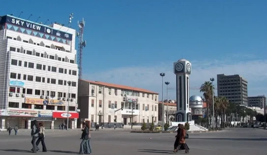
Armenian families of Homs reported that the city's Armenian population is not in danger
News
Putin hopes that the special military operation will end quickly
These zodiac signs will leave their troubles. Who has new opportunities?
Armenian karate players won medals in the Asian Championship
Will it be cold? What weather to expect on the first day of winter?
Putin expressed his condolences to Xi Jinping
Europeans themselves have started to leave Russia. Putin
The EU no longer wants to cover Ukraine's military expenses. Phyto
Negligence or sabotage? Inga Zarafyan on fires (video)
Wine, resort, adventure, cultural, educational and ecotourism will be promoted in Ararat, Vayots Dzor, Shirak, Tavush and Syunik marzes.
Gerard Pique lectured at Harvard University Business School
Russia has different communication channels with the USA. Peskov
3833 people died as a result of the 44-day war. Chairman of the RA NA
Lidya Mantashyan was released from the courtroom
France reported what will happen if Europe refuses peace
Lidia's release from detention is the victory of public pressure. Defender
An 11-year-old child died, Kamo Tsutsulyan's son attempted suicide. criminal news
The names are there, the signatures are not. Do the Bishops agree with the text of the statement? comments
Directly. The court hearing in the case of Reverend Bagrat and 17 detainees continues
Lax controls, destroyed forests. why did the fire get out of control?
The CSTO advocated the early conclusion of a peace treaty between Armenia and Azerbaijan

Negligence or sabotage? Inga Zarafyan on fires (video)
Wine, resort, adventure, cultural, educational and ecotourism will be promoted in Ararat, Vayots Dzor, Shirak, Tavush and Syunik marzes.
Lidya Mantashyan was released from the courtroom
Lidia's release from detention is the victory of public pressure. Defender
An 11-year-old child died, Kamo Tsutsulyan's son attempted suicide. criminal news
The names are there, the signatures are not. Do the Bishops agree with the text of the statement? comments
Directly. The court hearing in the case of Reverend Bagrat and 17 detainees continues
Lax controls, destroyed forests. why did the fire get out of control?
Lax controls, destroyed forests. why did the fire get out of control?
What is the damage caused by fires in Dilijan and surrounding forests?
All about hearing - audiologist Gayane Sargsyan
The draft law "On Responsible Treatment of Animals" was discussed and received a positive conclusion
The fires in different marzes are unprecedented, not connected, this is a reason for reflection. Adamian
That child was ours and we never had a similar conversation. Tigran's mother, who was strangled, does not believe that her son was killed by her husband. In the morning
Shots, blows to the chest with a cutting-piercing object. veins were cut, a car was burned
Dilijan covered in smoke. at the same time, fires continue to spread in several marzes
They sent settings to the mobile phone and stole 5 million drams from the bank card. Criminal news
In Argavand, a 25-year-old driver without a driver's license became the author of a car wreck
Davit Tonoyan is not allowed to get acquainted with the report of the investigative commission studying the circumstances of the 44-day war
The man kept and used marijuana in a shed in the park


